This is North America in the world atlas by Guillaume Delisle in 1700.
Halifax commissioned John Mitchell to create a large map in 1755. His map showed the Great Lakes to the Gulf of Mexico and the Appalachian Mountains to the Mississippi River. John Mitchell's map was published in London. "Lawrence Martin (1934) called John Michell's imposing, eight-sheet Map of the British and French Dominions in North America (Figure 1), 'the most important map in American history,' because British, Spanish, and American negotiators used several versions of the map to conceptualize the boundaries of the new United States of America in Paris in 1782-83" (Edney).

Map of North America in 1796

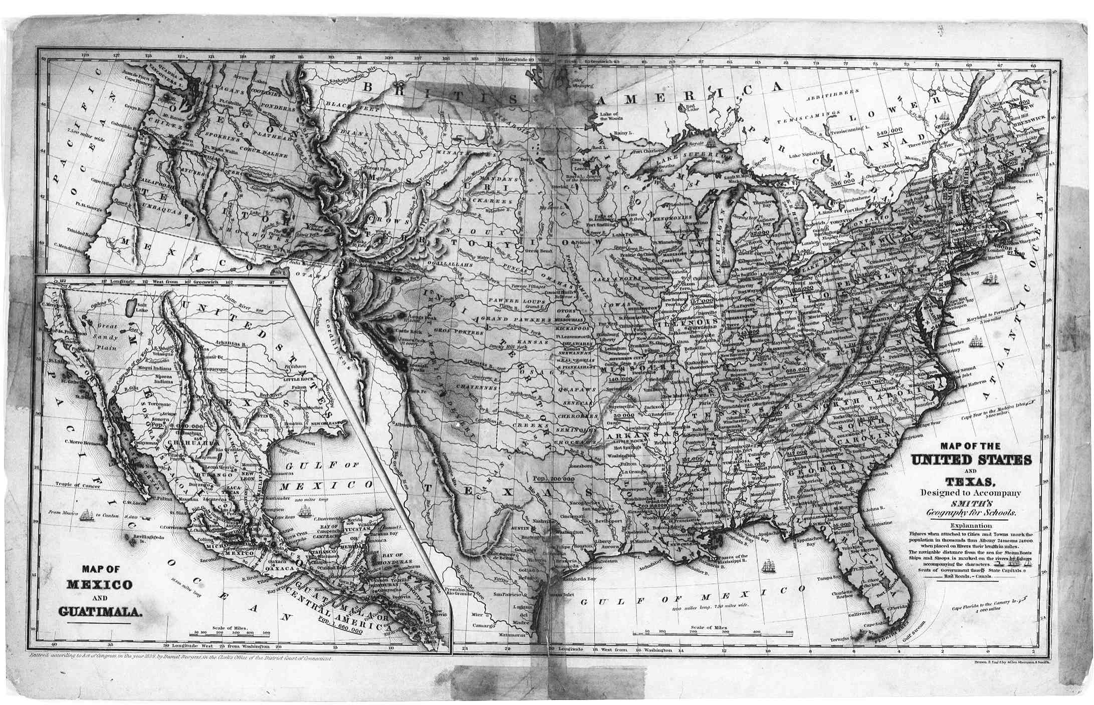
Here is a map of the United States and Texas in 1839.
The library of Congress has some fire insurance maps. "The Sanborn map collection consists of a uniform series of large-scale maps, dating from 1867 to the present and depicting the commercial, industrial and residential sections of some twelve thousand cities and towns in the United States, Canada and Mexico" (LOC). This is the Passic, New Jersey map from 1886.

Resources:
Digital History: http://www.digitalhistory.uh.edu/maps/maps.cfm#18c
Edney, M. H. (2007). A Publishing History of John Mitchell's Map of North America, 1755-1775. Cartographic Perspectives, (58), 4-27.
Image: http://commons.wikimedia.org/wiki/File:Mitchell_Map-06full2_compressed.jpg
Lunny, Robert M. (1961). Early Maps of North America. Newark, New Jersey: The New Jersey Historical Society. Retrieved at: https://archive.org/details/earlymapsofnorth00lunn
Sanborn maps. Library of Congress. Retrieved at: http://www.loc.gov/rr/geogmap/sanborn/san4a1.html
No comments:
Post a Comment